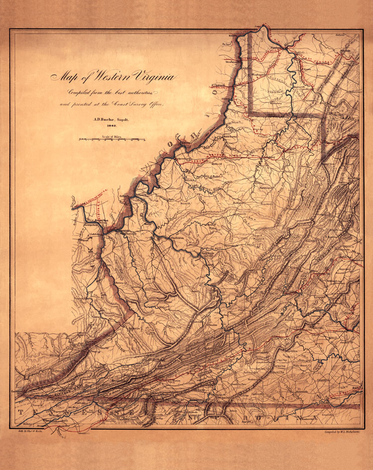
Document, Map of western Virginia compiled and printed by the Coast Survey Office in 1862, showing railroads, rivers and major towns. Library of Congress
Photographs: 1862